Home
Publications
Journal Articles
Conference Articles
Workshop Papers and Tech Reports
Research
Robot Perception
Robot Decision-making and Control
Robot Learning
Autonomous Aerial and Ground Robot Systems
Teaching
Bayesian Estimation for Flight Robotics
Flight Robotics Seminar
Applied Machine Learning for Engineers
Projects
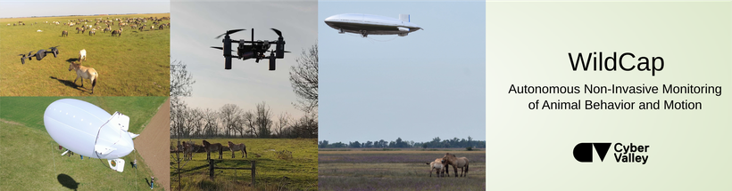
WildCap
AirCap
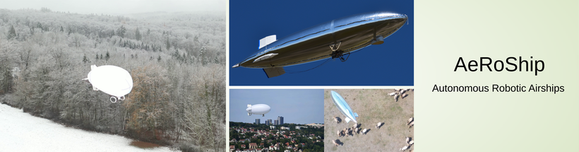
AeRoShip
AirCapRL
ActiveSLAM
Datasets
DAZZLE
Team
Awards
Media
Code
Open Positions
Home
Publications
Journal Articles
Conference Articles
Workshop Papers and Tech Reports
Research
Robot Perception
Robot Decision-making and Control
Robot Learning
Autonomous Aerial and Ground Robot Systems
Teaching
Bayesian Estimation for Flight Robotics
Flight Robotics Seminar
Applied Machine Learning for Engineers
Projects
WildCap
AirCap
AeRoShip
AirCapRL
ActiveSLAM
Datasets
DAZZLE
Team
Awards
Media
Code
Open Positions
Projects
Scroll to top